It would have been a mistake to look at a map of the stretch of barrier islands to the south, turn around and head back north to the comforts of the Outer Banks’ “larger” communities, like Nags Head, Kitty Hawk and Manteo. As lovely as these villages are – and they are great places to visit – things got really interesting the further we drove south into the heart of Cape Hatteras National Seashore.
First, a little geography: Cape Hatteras National Seashore is a long, pencil-thin stretch of barrier islands (Bodie, Hatteras, Ocracoke) with the dunes of the Atlantic Ocean on one side and the water of Pamlico Sound on the other. It’s largely land under the watch of the National Park Service, so gets a high level of environmental protection. There are several historic villages scattered along the way (not part of the NPS land) with large beachfront homes and all the amenities of a smaller town.
We’ve already written about the shifting sand and the close watch residents keep through hurricane season (June – November) but the real highlight is what’s not along long stretches of this pristine coast. The NPS has preserved wetlands for migratory birds (hike along a boardwalk at Pea island National Wildlife Refuge), historic lighthouses and miles of remote sand beach.
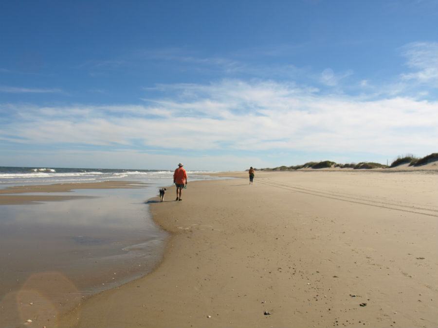
In the water, dolphins played. On the shoreline, a few fishermen planted their long rods to cast from the surf and the occasional walker doffed footwear and strolled barefoot along the sand. No shops. No go-carts or mini-golf. Not even a single vending machine. In the NPS campgrounds? No electrical hook-ups and cold water showers. Ink-black skies at night. It’s not everyone’s cup of tea but it sure is ours.
The Outer Banks are infamous as the Graveyard of the Atlantic – a testament to the dangerous shoals that claimed many a passing ship (the estimate is the waters off the banks holds more than 600 shipwrecks dating back centuries).
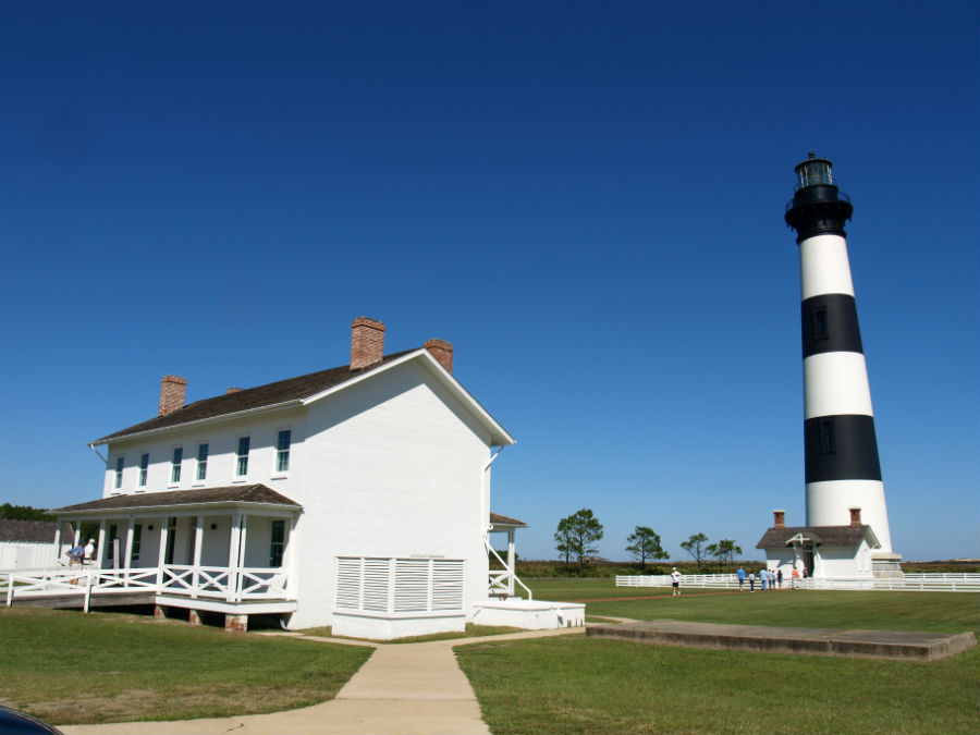
Craig took the ranger-guided hike up the black and white striped Bodie Island Light Station. The view from the top was great over the long dunes and the salt marshes that are a perfect stopover point for birds migrating north-south along the Atlantic Flyway. Bodie Island Lighthouse was built in 1871, is 214 steps and on a clear day you can see 30 km (18 mi) from the top. Its flash pattern is 2.5 on, 2.5 off, 2.5 on, 22.5 off (just in case you were wondering) and it still uses an original Fresnel lens. The grounds of the lighthouse are dog friendly (but not a climb to the top).
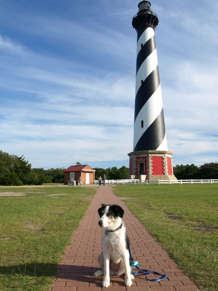
A little further down the road we stopped at the candy-cane striped lighthouse that most people associate with the Outer Banks: Cape Hatteras Light Station. The National Historic Landmark is the continent’s tallest brick lighthouse (a climb up Hatteras is 248 steps, equivalent to a 12-storey building). The grounds of the lighthouse are dog friendly (but not a climb to the top).
The iconic lighthouse also made it to many a newspaper front page in 1999 when the National Park Service moved the entire brick structure 460 m (1,500 ft) back from an encroaching sea. The sands continue to shift but they say the move should keep the tall building safe for a good long time.
In Hatteras Village we ate dinner overlooking a dock filled with fishing boats and had a seafood meal that set the bar high for the remainder of our trip. The chef at the Breakwater Restaurant buys local: shrimp, scallops, grouper, flounder, tuna and it shows in the taste on the plate. We ate our fill of steamed shrimp the size of a toddler’s fist that were flavour-packed, meaty and didn’t suffer a bit from being dipped in melted butter. On a quest to embrace grits, Jo ate a delicious main of Shrimp & Grits (and yes, it did the trick – now a convert) and Craig had spicy, blackened chunks of yellowfin tuna (the catch of the day) wrapped in soft wheat tortillas and served with sides of black beans, rice and a pineapple chutney. Dessert was one slice/two forks of Peanut Butter Pie – a rich and creamy PB centre topped with dark, chocolate ganache.
Like we said, the bar is set high.
