Tag Archives: shrimp

South Carolina’s beautiful Lowcountry

Spoiler alert: There is nothing we didn’t like about the Lowcountry just outside Beaufort called the Sea Islands, a collection of small islands huddled together, separated by tidal creeks and connected by short bridges.

lowcountrypics5

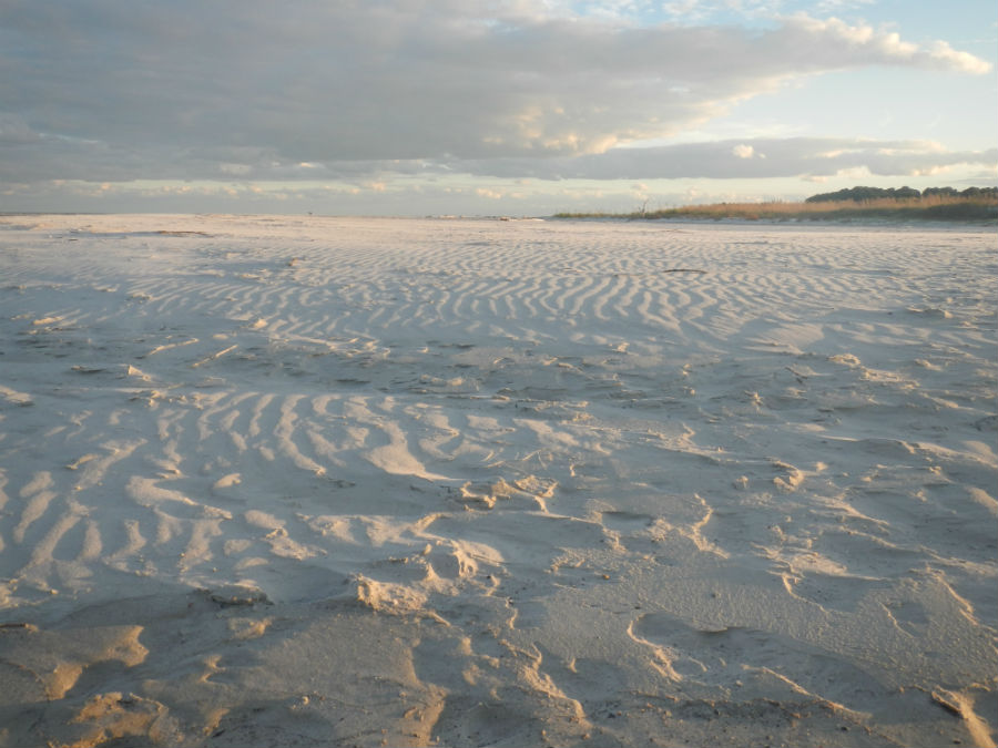
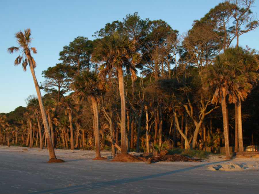
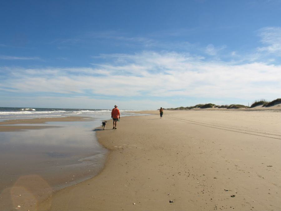
The definite highlight was our stay at beautiful Hunting Island State Park – we loved it so much that we extended our visit for an additional five days. We’d set our alarm to a pre-sunrise hour, walk five minutes to the beach and be there for the sunrise over the Atlantic. In the distance there were shrimp boats (no doubt harvesting our dinner that evening). Rigby was fascinated by the small fiddler crabs scuttling along the sand (South Carolina beaches are on-leash dog friendly). The beach is long and luxurious, anchored by a lighthouse at one end and a sweeping curve of sand at the far reach. The early morning sun cast a warm glow on the palmetto palms that line the back of the dunes. It set up each day perfectly.

lowcountrypics2

In addition to the natural beauty of the Lowcountry, this region is steeped in history.

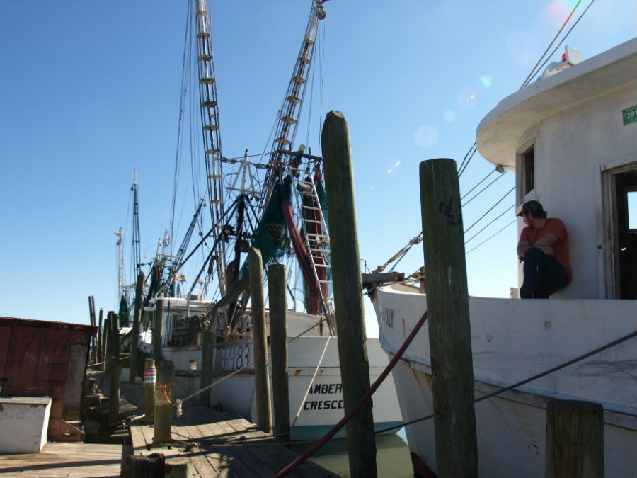
There is a long tradition of shrimping. We’d stop at Gay Fish Co. (just at the bridge from St. Helena Island to Hunting Island) to buy the freshest shrimp we’d ever tasted. Half-a-dozen shrimp boats were tied to the rickety docks. Inside, the woman weighing our daily ration told us their docks stood in for the Alabama coastline in the filming of the shrimping scenes in the hit movie, Forrest Gump. On the wall there’s a framed photo of Tom Hanks and Gary Sinise playing out a scene from the movie.

lowcountrypics10

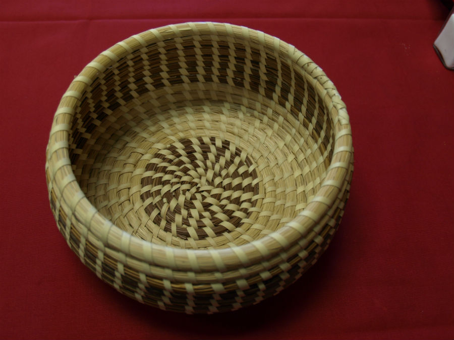
We visited the Penn Center Historic District, preserving the Gullah community on St. Helena Island. The Gullah people – the descendants of enslaved Africans – are known for their unique culture and traditions imported from West Africa (including the weaving of beautiful sweetgrass baskets). Before bridges were built, these islands were isolated and the culture was protected and thrived. Gullah culture is all over the Sea Islands, but the Center is the only spot where the buildings remain intact and protected as a National Historic Site. When the program at the site opened it was the first school in the nation to provide formal education for freed African slaves; a path to liberation. Over time, the focus shifted to civil rights and social justice issues. Now, the Center is a part of the National Park Service’s Gullah Geechee Cultural Heritage Corridor, preserving this unique culture, traditions and heritage.

lowcountrypics8

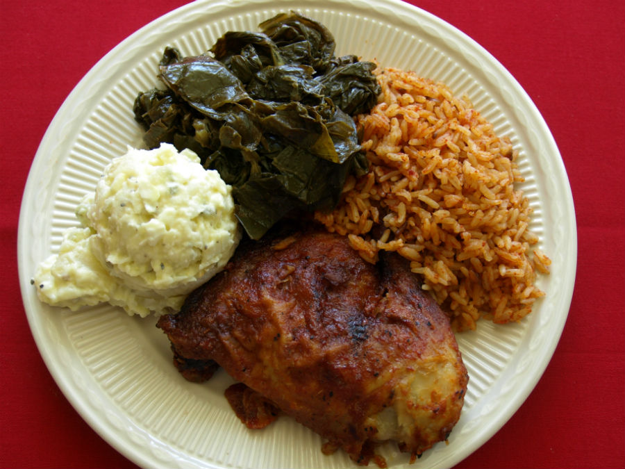
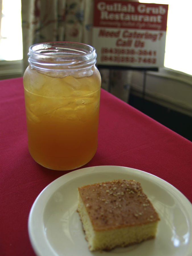
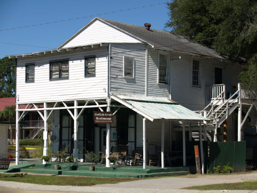
One of our favourite meals was at the modest Gullah Grub Restaurant. Our lunch started with squares of rich cornbread, still warm from the oven, and glasses of “swamp water” (a mix of sweet tea and lemonade, called an Arnold Palmer on the mainland). Traditional Gullah dishes are based on whatever is seasonally available – rice, tomatoes, okra, fish. We ate local: a starter of she-crab soup, barbecue ribs and fried chicken with a side of collards doused with vinegar for some extra tang.

lowcountrypics1 lowcountrypics4 lowcountrypics7

We’ll be back . . . again and again and again.
Cape Hatteras National Seashore: Where land and sea meet

It would have been a mistake to look at a map of the stretch of barrier islands to the south, turn around and head back north to the comforts of the Outer Banks’ “larger” communities, like Nags Head, Kitty Hawk and Manteo. As lovely as these villages are – and they are great places to visit – things got really interesting the further we drove south into the heart of Cape Hatteras National Seashore.

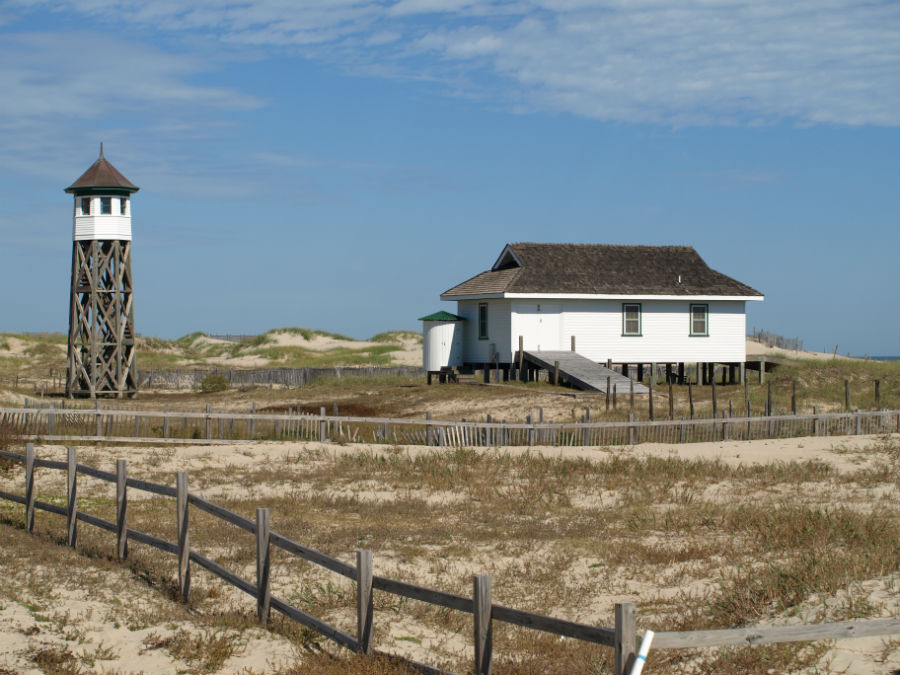
First, a little geography: Cape Hatteras National Seashore is a long, pencil-thin stretch of barrier islands (Bodie, Hatteras, Ocracoke) with the dunes of the Atlantic Ocean on one side and the water of Pamlico Sound on the other. It’s largely land under the watch of the National Park Service, so gets a high level of environmental protection. There are several historic villages scattered along the way (not part of the NPS land) with large beachfront homes and all the amenities of a smaller town.

OBXsouth1

We’ve already written about the shifting sand and the close watch residents keep through hurricane season (June – November) but the real highlight is what’s not along long stretches of this pristine coast. The NPS has preserved wetlands for migratory birds (hike along a boardwalk at Pea island National Wildlife Refuge), historic lighthouses and miles of remote sand beach.

In the water, dolphins played. On the shoreline, a few fishermen planted their long rods to cast from the surf and the occasional walker doffed footwear and strolled barefoot along the sand. No shops. No go-carts or mini-golf. Not even a single vending machine. In the NPS campgrounds? No electrical hook-ups and cold water showers. Ink-black skies at night. It’s not everyone’s cup of tea but it sure is ours.

The Outer Banks are infamous as the Graveyard of the Atlantic – a testament to the dangerous shoals that claimed many a passing ship (the estimate is the waters off the banks holds more than 600 shipwrecks dating back centuries).

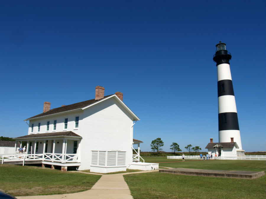
Craig took the ranger-guided hike up the black and white striped Bodie Island Light Station. The view from the top was great over the long dunes and the salt marshes that are a perfect stopover point for birds migrating north-south along the Atlantic Flyway. Bodie Island Lighthouse was built in 1871, is 214 steps and on a clear day you can see 30 km (18 mi) from the top. Its flash pattern is 2.5 on, 2.5 off, 2.5 on, 22.5 off (just in case you were wondering) and it still uses an original Fresnel lens. The grounds of the lighthouse are dog friendly (but not a climb to the top).

OBXsouth3

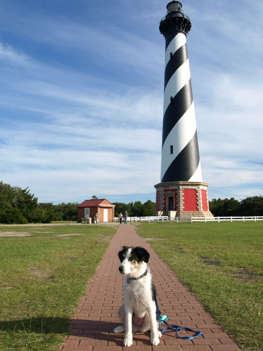
A little further down the road we stopped at the candy-cane striped lighthouse that most people associate with the Outer Banks: Cape Hatteras Light Station. The National Historic Landmark is the continent’s tallest brick lighthouse (a climb up Hatteras is 248 steps, equivalent to a 12-storey building). The grounds of the lighthouse are dog friendly (but not a climb to the top).

The iconic lighthouse also made it to many a newspaper front page in 1999 when the National Park Service moved the entire brick structure 460 m (1,500 ft) back from an encroaching sea. The sands continue to shift but they say the move should keep the tall building safe for a good long time.

OBXsouth4

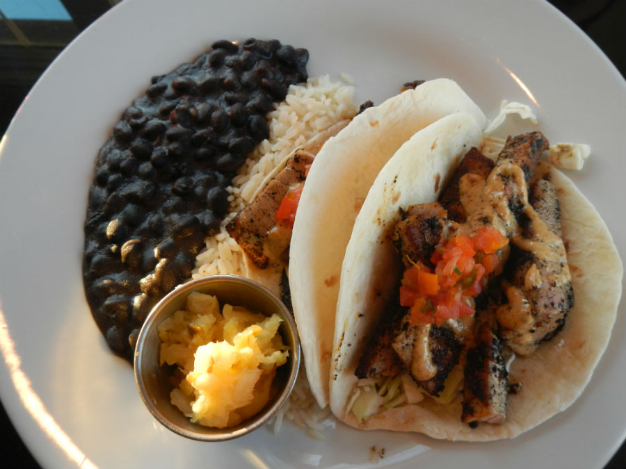
In Hatteras Village we ate dinner overlooking a dock filled with fishing boats and had a seafood meal that set the bar high for the remainder of our trip. The chef at the Breakwater Restaurant buys local: shrimp, scallops, grouper, flounder, tuna and it shows in the taste on the plate. We ate our fill of steamed shrimp the size of a toddler’s fist that were flavour-packed, meaty and didn’t suffer a bit from being dipped in melted butter. On a quest to embrace grits, Jo ate a delicious main of Shrimp & Grits (and yes, it did the trick – now a convert) and Craig had spicy, blackened chunks of yellowfin tuna (the catch of the day) wrapped in soft wheat tortillas and served with sides of black beans, rice and a pineapple chutney. Dessert was one slice/two forks of Peanut Butter Pie – a rich and creamy PB centre topped with dark, chocolate ganache.

Breakwater1

Like we said, the bar is set high.

They call it OBX: North Carolina’s Outer Banks

We’re looking for the places that smack of coastline life. The Outer Banks certainly fill that bill – from the northern tip at the beach at Corolla, to the secluded village of Ocracoke 190 km (118 mi) away. By secluded, here’s what we overheard: “Honey, if the world ended tomorrow, Ocracoke would find out about it next week.” We’ll be there in a few days and will report in.

OBX3

Look at a map of the Outer Banks and it seems like the long barrier islands could be blown away by a stiff hurricane. It turns out, they are slowly moving southwest – gale-force winds and the constant pounding of the ocean are shifting the tenuous landscape, one grain of sand at a time. Inch by inch, century by century, the sandbar moves closer to the mainland as wind and tempestuous storms re-arrange the dunes, reshaping the map. When hurricanes come roaring up the Atlantic seaboard, the Outer Banks are in the bull’s eye. But when the weather is lovely – like it has been this early October 2014 – it’s hard to imagine a more beautiful stretch of sand and sun. Kiteboarders, windsurfers, parasailors and sailors love the wind.

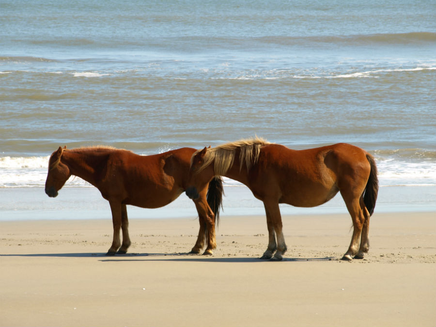
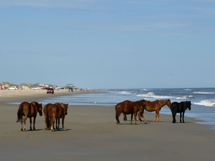
We started at the top: Corolla, home to the Colonial Spanish Mustangs, a herd of 100 that are direct descendants of horses shipwrecked centuries ago. Fast forward to the 21st century and these wild horses freely range the beaches, dunes and scrub brush of the narrow sandbar between the Atlantic Ocean and Currituck Sound, protected by the non-profit Corolla Wild Horse Fund.

OBX1OBX2

We loaded into the back of a 4WD truck, and setout with Corolla Outback Adventures to follow hoof prints in the sand. After driving between the dunes and into the maritime forest, we finally spotted one harem of six down by the ocean’s edge catching a little sea breeze to stay cool.

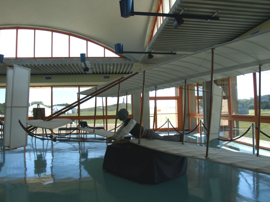
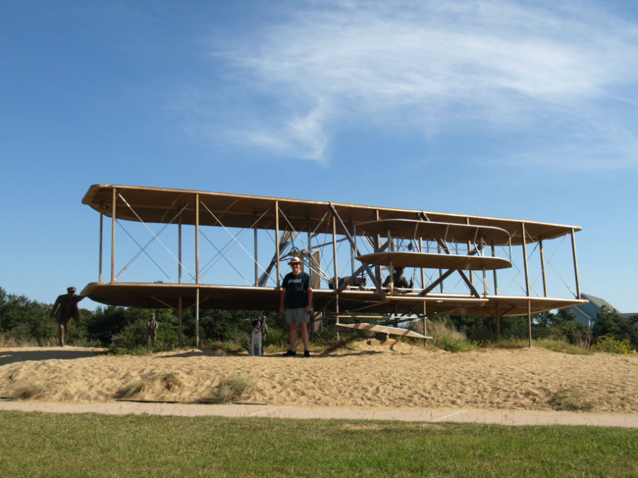
OBX – in particular, Kitty Hawk – is known for wind and for the “12 seconds that changed history.” This is where two bicycle-building brothers – Wilbur and Orville Wright – came to take advantage of the constant winds and the area’s seclusion to test their homemade flying machine. The year was 1903, and on a chilly December day they ran four successful flights – the shortest was 12 seconds and the longest 59 seconds. It was the first successful power-driven flight in world history and it cemented the Outer Banks as the Birthplace of Aviation. We saw it, walked it and soaked it up at the excellent Wright Brothers National Monument. Markers in the field show the exact start and stopping points of each flight, and indoor displays include reproductions of the brothers’ first wind tunnel machine and lightweight flying contraptions.

OBX8 OBX7 OBX5

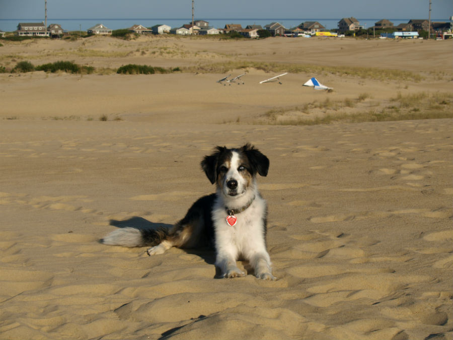
Just a few miles down the road, Jockey’s Ridge State Park protects the tallest natural sand dune on the eastern seaboard (at 100 ft above sea level it’s not exactly nosebleed territory, but it is a very impressive sweep of sand). We took a long walk to the top of the dune for great views over the beachfront. We visited too late in the afternoon, but Wright-wannabes can sign up for hang gliding classes with the dune top as a take-off point.

OBX6

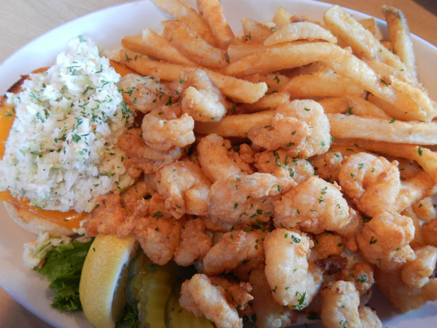
Part two of our OBX mission is to try as much fresh seafood as possible. Our favourite stop was an Outer Banks’ institution: Sam & Omie’s. Even in the off season, the place was hopping, packed with entrants in a women’s sportfishing tournament who knew where to find the best seafood meals. Sam & Omie’s began as an early breakfast hangout for local fisherman back in the late 1930s. These days, they serve breakfast, lunch and dinner and are known for the shrimp burger (a delicious pile of shrimp on a coleslaw-lined bun that is impossibly messy to eat) and the catch of the day (always right off the boat). We shared a Broiled Seafood Combo of shrimp and scallops with steamed collards on the side (got to get our iron-rich veggies for the day).

SamOmies1

SamandOmies2